Seabed Characterisation
Understand the seabed for safer and more efficient projects
Accurate information at the service of your projects
We offer detailed characterisation of the area of interest to optimise each phase of your project
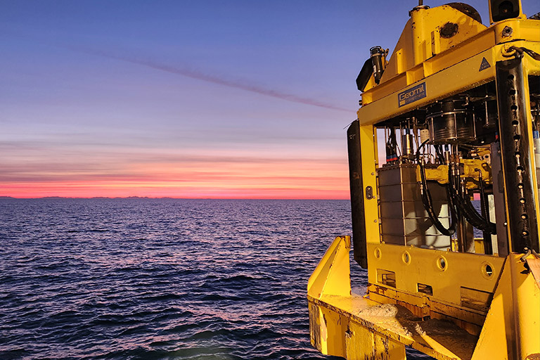
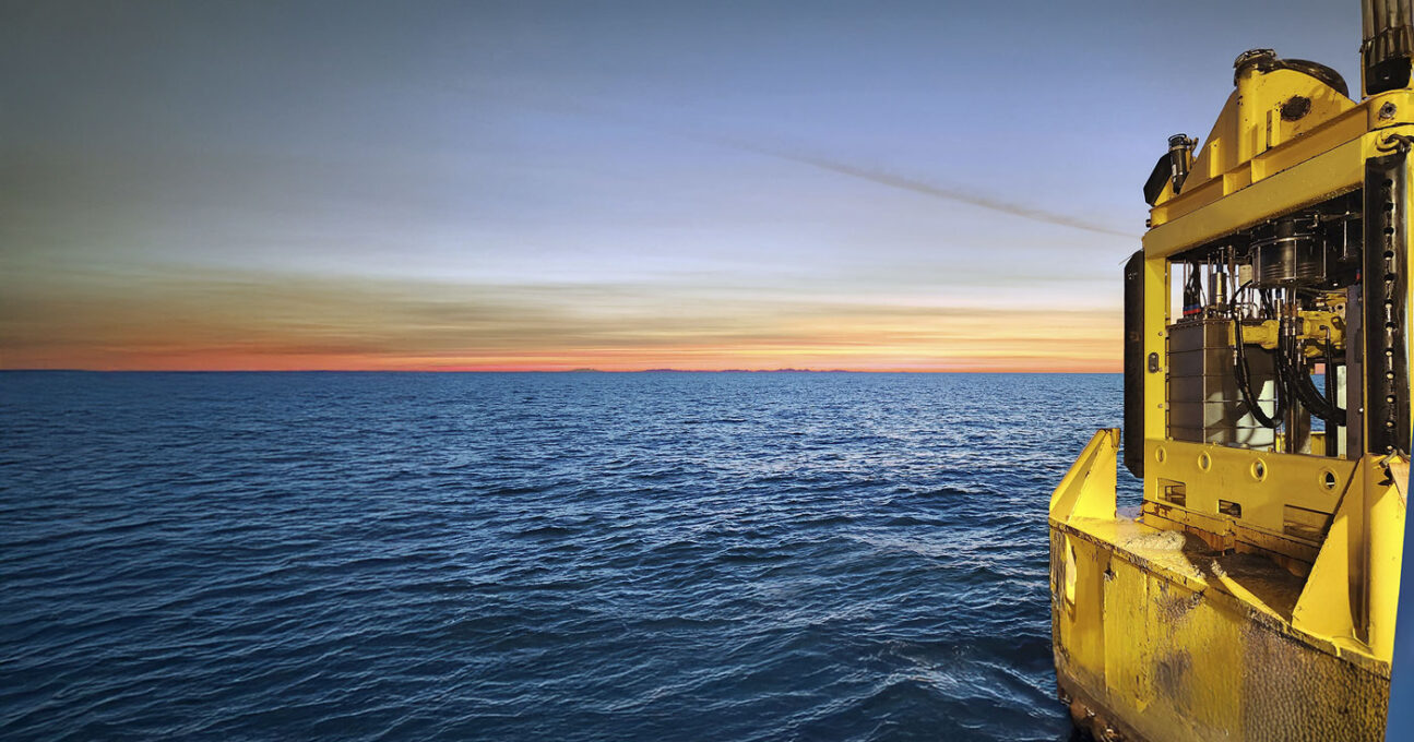
Geophysical Surveys
Geophysical surveys to provide essential data safely and efficiently
We provide comprehensive geophysical services in offshore, nearshore and inland waters, providing essential data for safe decision-making. Using state-of-the-art sensors (such as MBES, SSS, SBP, magnetometers) on manned and unmanned platforms (AUV and USV), we obtain geodata that facilitates efficient planning, risk mitigation, environmental assessment and engineering.
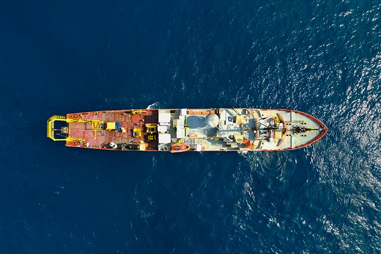
Hydrographic Surveys
Hydrographic data for optimal operations and planning
We map the seabed topography and underwater features using advanced acoustic (MBES) and positioning (GNSS) technologies. Essential for safe navigation, design, construction, and environmental management, our surveys provide reliable data to support your projects in a wide range of depths and in marine and inland water environments.
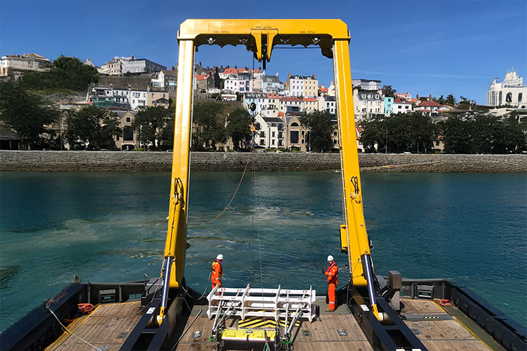
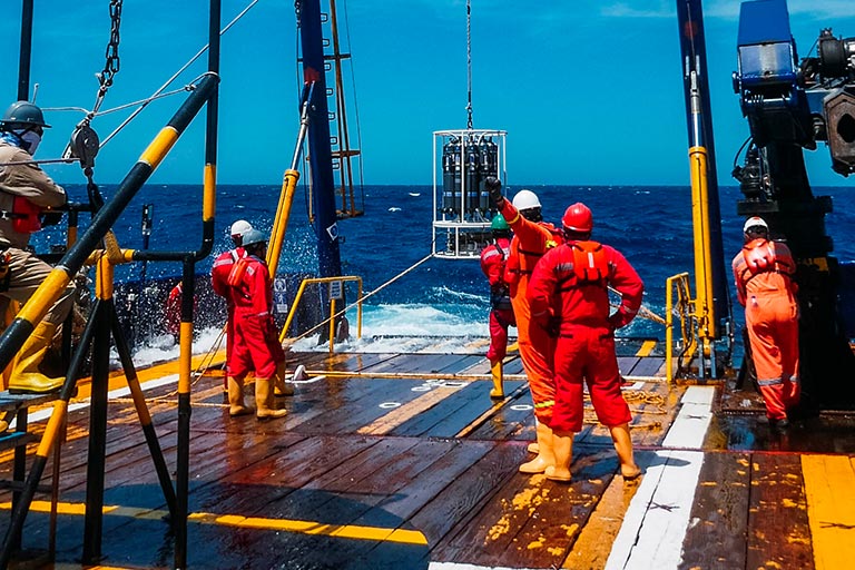
Geotechnical Surveys
Essential information for successful design and construction
We provide essential subsoil information for the design and construction of your projects. Using advanced sampling and testing techniques, including CPT, vibrocorer and pistoncorer, our surveys reduce risks and guide your engineering development. They also enable the safe and cost-effective execution of projects, making them a key resource for your success.
UXO/Archaeological Surveys
Risk mitigation and regulatory compliance
We identify unexploded ordnance (UXO) and sites of heritage and cultural interest using various equipment in different configurations, such as TVG or ROTV equipped with magnetometers. We offer specialised analysis prior to geotechnical surveys and construction activities, including the issuance of ALARP certificates. We help our clients mitigate risks, preserve heritage and ensure regulatory compliance throughout the project life cycle.
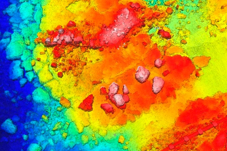
Seismic Surveys (2D UHRS)
Geological mapping and identification of geological risks
We conduct 2D seismic surveys to generate high-resolution images of the seabed, facilitating detailed interpretation of its geology and stratigraphy. We identify potential risks and integrate the data into interpretative models that optimise decision-making. These models allow you to minimise uncertainties in the design and construction phases, improving the safety and efficiency of projects.
Environmental Surveys
Sustainable development and regulatory compliance
We offer comprehensive marine ecosystem survey solutions to promote sustainable development. We combine biological sampling with water and sediment analysis to generate high-quality environmental maps, baseline studies and impact assessments. Our approach ensures regulatory compliance, minimises ecological impact and provides key information for decision-making throughout the life cycle of your projects.
Contact us
Get help from our marine research experts