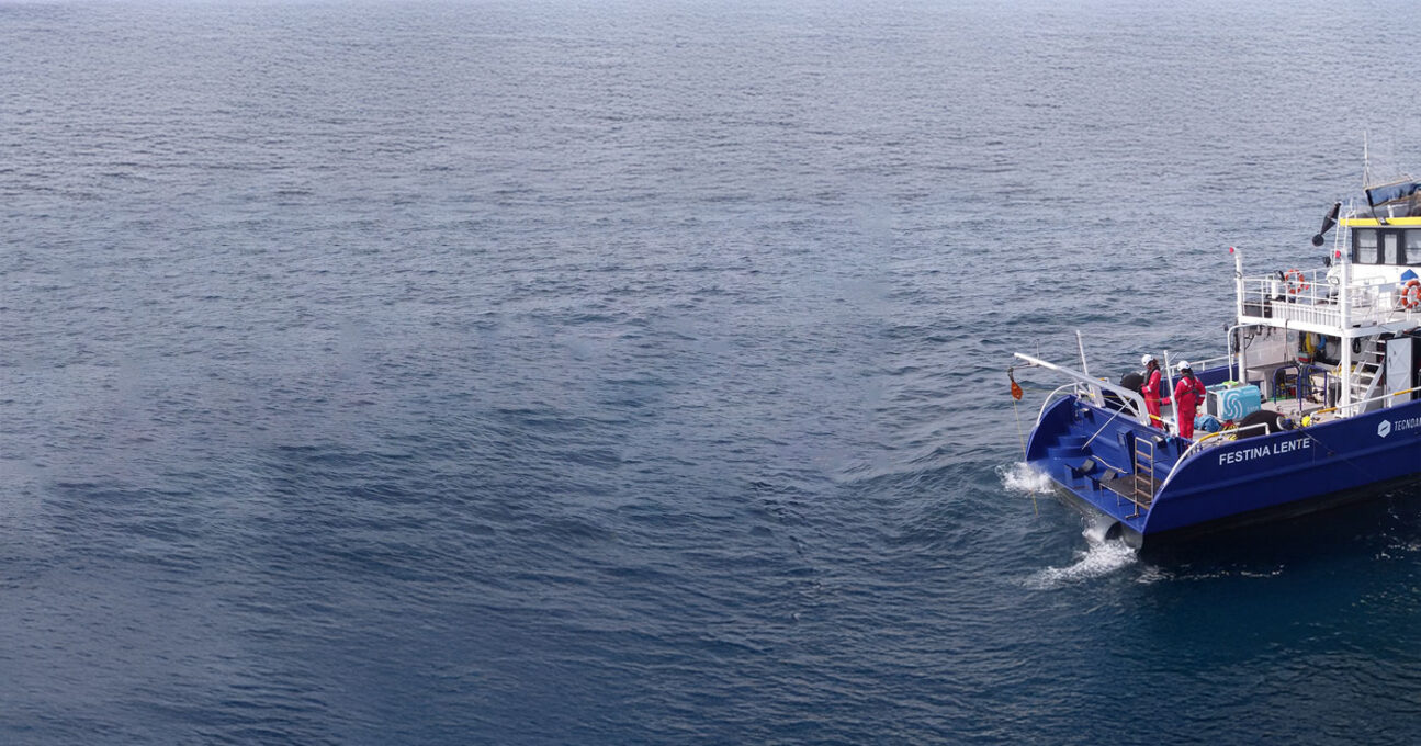
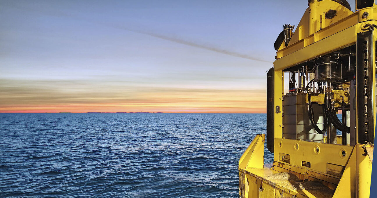
Marine Survey
Geosciences for safe projects
Integrated geophysical and geotechnical solutions for the marine environment
We support your projects by acquiring and interpreting essential seabed data to ensure safe, efficient and sustainable development
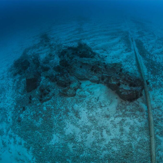
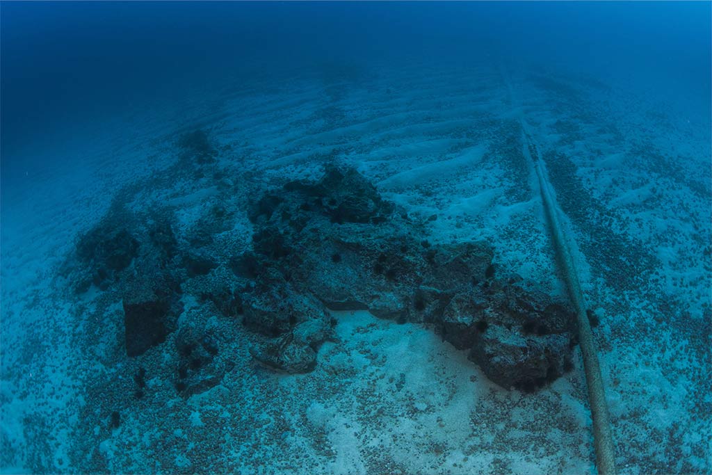
Seabed Characterisation
We analyse the seabed and subsoil to assess areas of interest and reduce risks in your projects.
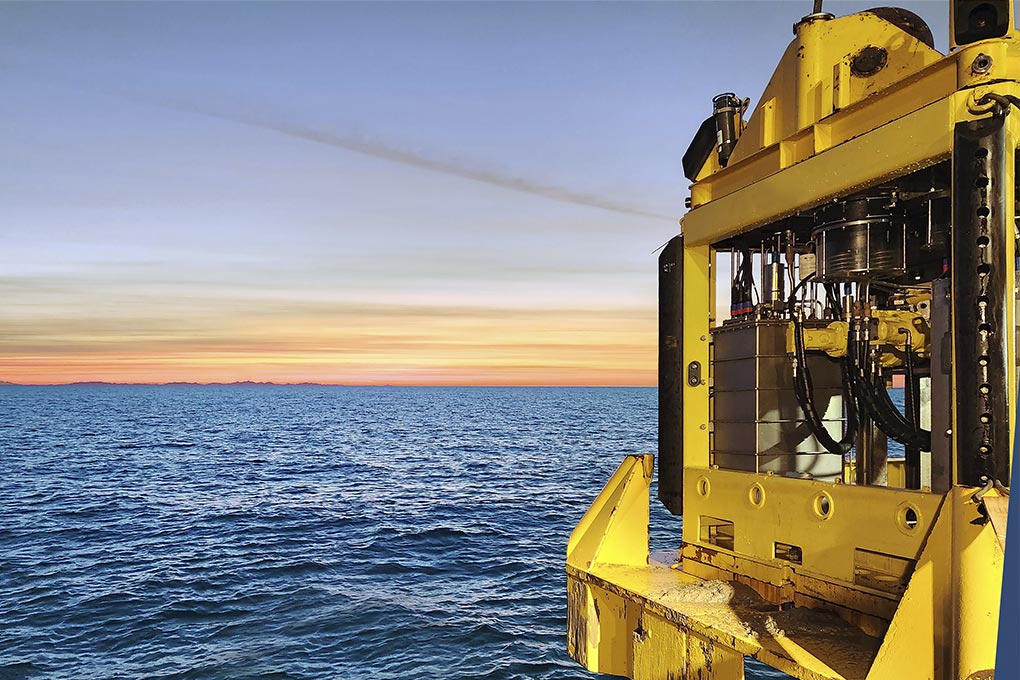
Construction and Maintenance Support
We promote safe and efficient construction with our comprehensive inspection and study services.
Geodata Analysis and Technical Consulting
We process, interpret and integrate geodata to facilitate decision-making.
Seabed Characterisation
We offer our expertise in hydrography, geophysics and geotechnics to maximise the potential of your project. We carry out everything from UXO and archaeological studies to high-resolution 2D seismic and environmental surveys. We provide accurate and useful information on the seabed and subsoil conditions to minimise risks, simplify planning and move your projects forward.
Construction and Maintenance Support
We guarantee the safety and efficiency of your project throughout its entire life cycle with UXO risk management, infrastructure inspections from the surface to the seabed, and support for dredging and decommissioning operations. We provide accurate information that helps maintain the integrity of your assets, reduce risks and ensure that construction and maintenance projects progress as planned at every stage.
Geoscientific Data and Consulting Services
We ensure the success of your projects through expert interpretation of geophysical and geotechnical data, integrated terrain models and advanced GIS mapping. Our data centre transforms data into practical knowledge that reduces risk, improves planning and turns the information acquired into a competitive advantage.
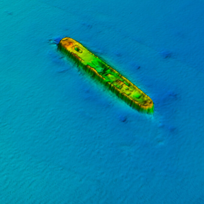
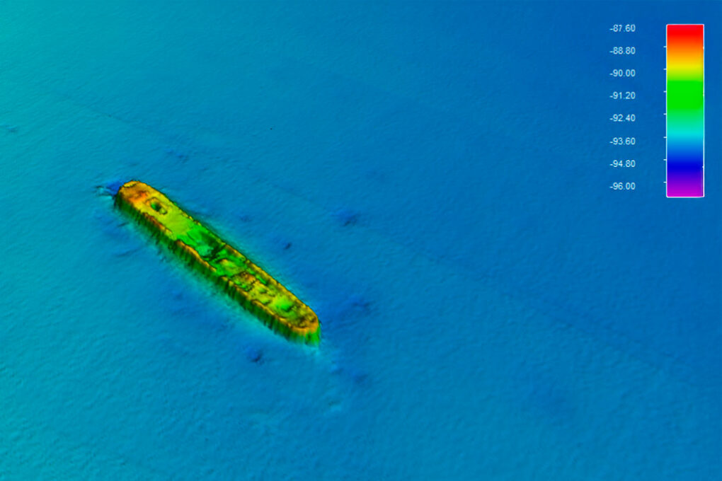
Barmar Project – Seabed Characterisation
Preliminary study for the route of the H2med hydrogen pipeline off the coast of Spain in the Mediterranean Sea
Contact us
Request tailored expert support