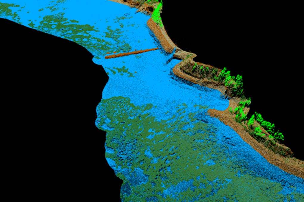
The Institut Cartogràfic i Geològic de Catalunya (ICGC), in collaboration with the company Field, has carried out a topobathymetric mapping of the Catalan coastal area using airborne LiDAR technology. The resulting model—which combines land elevation and seabed—will support effective coastal zone management and compliance with conservation directives.
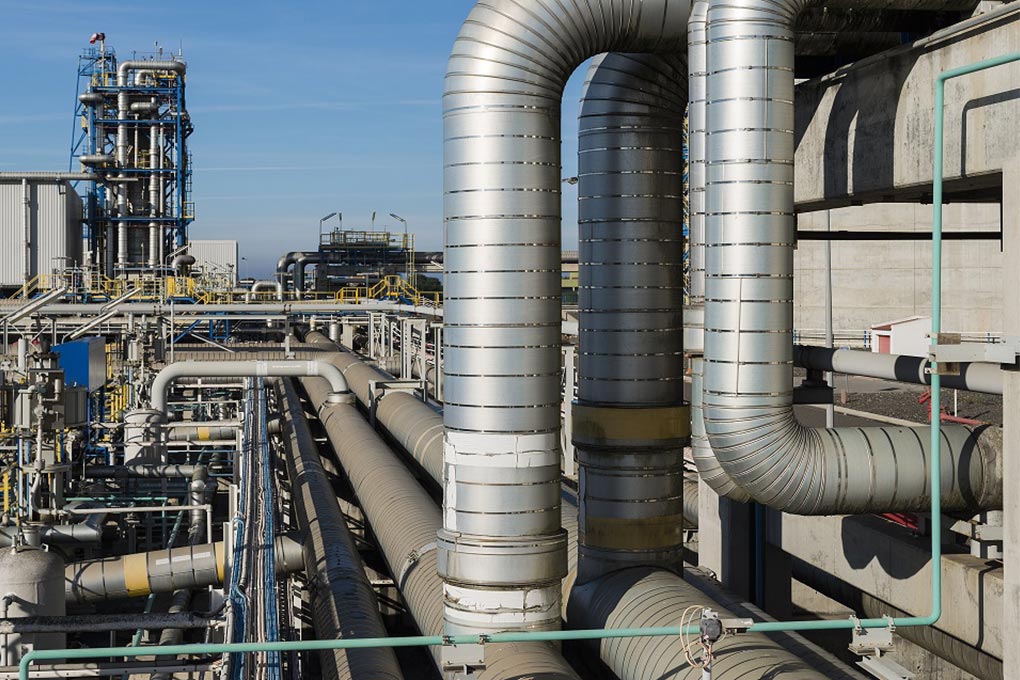
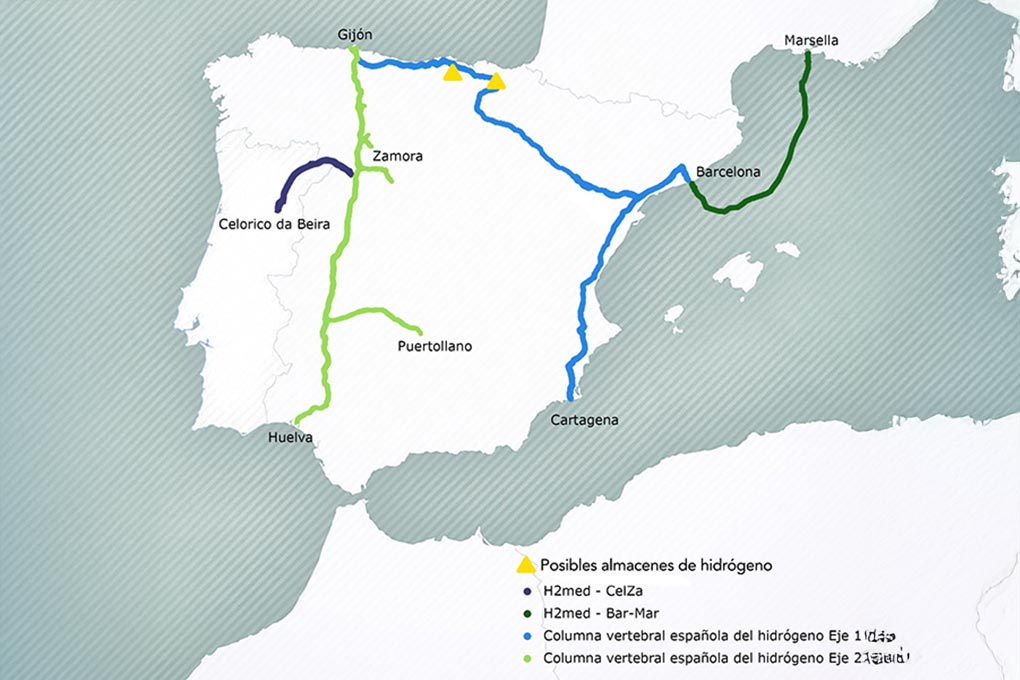
Enagás, GRTgaz and Teréga award Wood the preliminary engineering studies for the BarMar section
The three energy operators have given a boost to the BarMar project (part of the H2Med corridor) by awarding Wood the preliminary engineering studies for the Barcelona–Marseille submarine connection and assigning Tecnoambiente the social and environmental impact studies. This move marks a new key phase in the project.
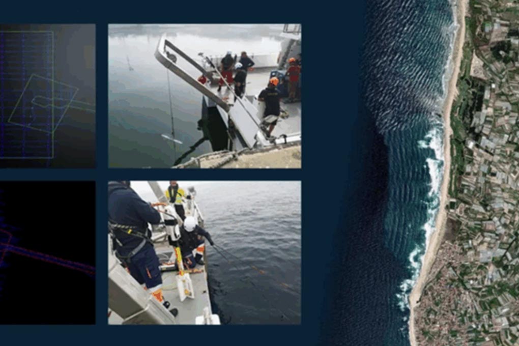
Geophysical research unlocks 10 MW wave energy project in Portugal
CorPower Ocean has completed geophysical research off the coast of Aguçadoura, enabling the 10 MW VianaWave wave energy project to move forward. Spanish company Tecnoambiente participated in the fieldwork in a 340-hectare area, collecting key data on sediments, the seabed and cable routes. Learn more
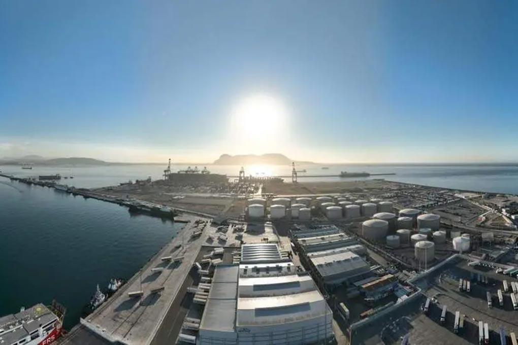
Tecnoambiente to manage the APBA Green Strategy Monitoring Office
The Port Authority of the Bay of Algeciras has awarded Tecnoambiente the contract to manage its Green Strategy Monitoring Office for two years. This office will coordinate the implementation of the plan, promote the participation of concessionaires and entities in the port community, and monitor environmental, social and economic sustainability…
Tecnoambiente and Natural Power to carry out environmental and social impact study of the subsea pipeline connecting Barcelona and Marseille
Tecnoambiente, together with Natural Power, has been selected to carry out the environmental and social impact study of the subsubsea pipeline that will connect Barcelona and Marseille, as part of the H2Med project. The analysis will evaluate possible routes and the technical, economic, social and environmental conditions of the marine…
Tecnoambiente launches the VALUE PORTS project, with the support of Ports 4.0, to advance the management of port natural capital
Tecnoambiente has obtained the support of the Ports 4.0 Fund of Puertos del Estado to promote a new initiative aimed at strengthening environmental sustainability and natural capital management in the port sector, Value Ports. This support will enable progress to be made in the conceptual design and methodological validation of…
The UB and Tecnoambiente promote the Chair of Sustainable Blue Economy
The UB and Tecnoambiente have created the Chair of Sustainable Blue Economy to promote research, training and knowledge transfer on the responsible use of marine and coastal areas. The new body, led by Professor Miquel Canals, addresses the economic development of the sea from the perspective of social justice, ocean…
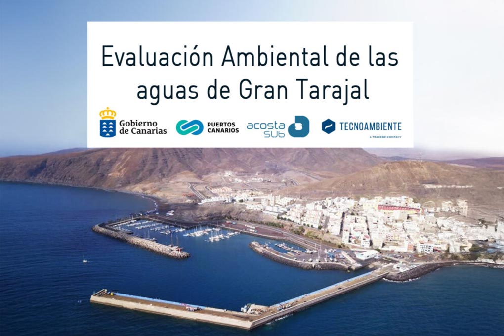
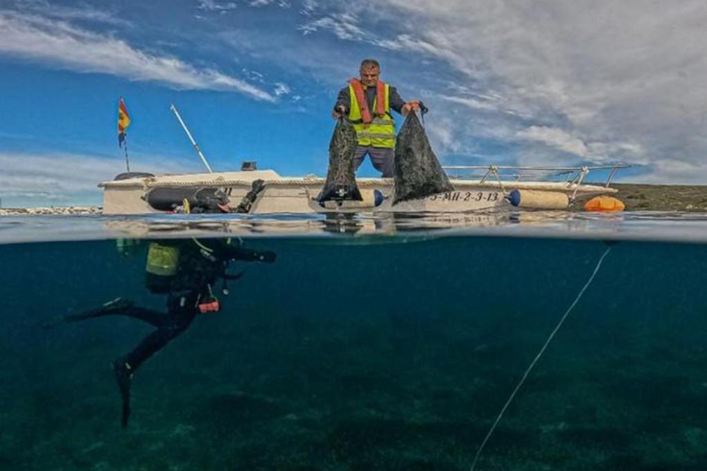
AcostaSub and Tecnoambiente work together in Gran Tarajal (Fuerteventura)
AcostaSub and Tecnoambiente have entered into a contract to carry out the analysis, assessment and environmental monitoring of the seabed and waters of the commercial quay at the port of Gran Tarajal (Fuerteventura). The programme includes sampling, measurements and coastal surveillance in response to the sinking of barges and tugboats…
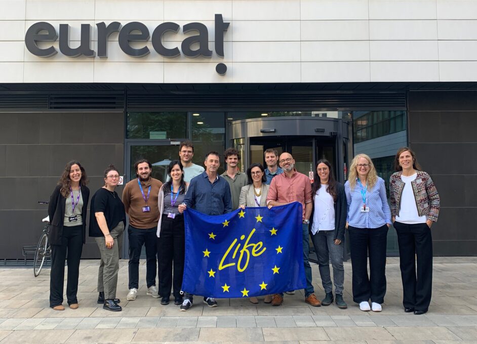
LIFE InBioSoil, an initiative turning fungi and bacteria into tools for soil restoration in Europe
ntaminated soils directly on site. Unlike conventional methods such as excavation or thermal treatment, which are often costly and disruptive, the project leverages the natural abilities of fungi and bacteria, combined with advanced biotechnology and innovative low-pressure injection techniques, to restore polluted soils safely and efficiently. Supported by the EU…
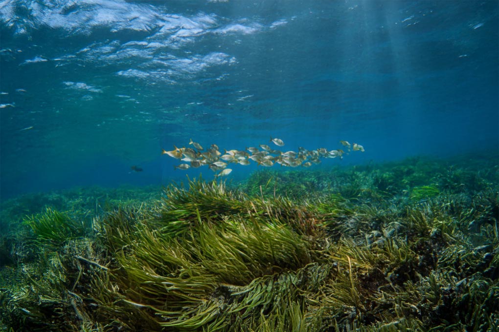
The IUCN presents its first Mediterranean Blue Carbon Strategy, a strategic framework for 2025-2030 to protect and restore coastal ecosystems such as Posidonia oceanica seagrass beds in the Mediterranean. These ecosystems are essential for mitigating climate change, accumulating carbon, conserving biodiversity and ensuring sustainable coastal livelihoods.
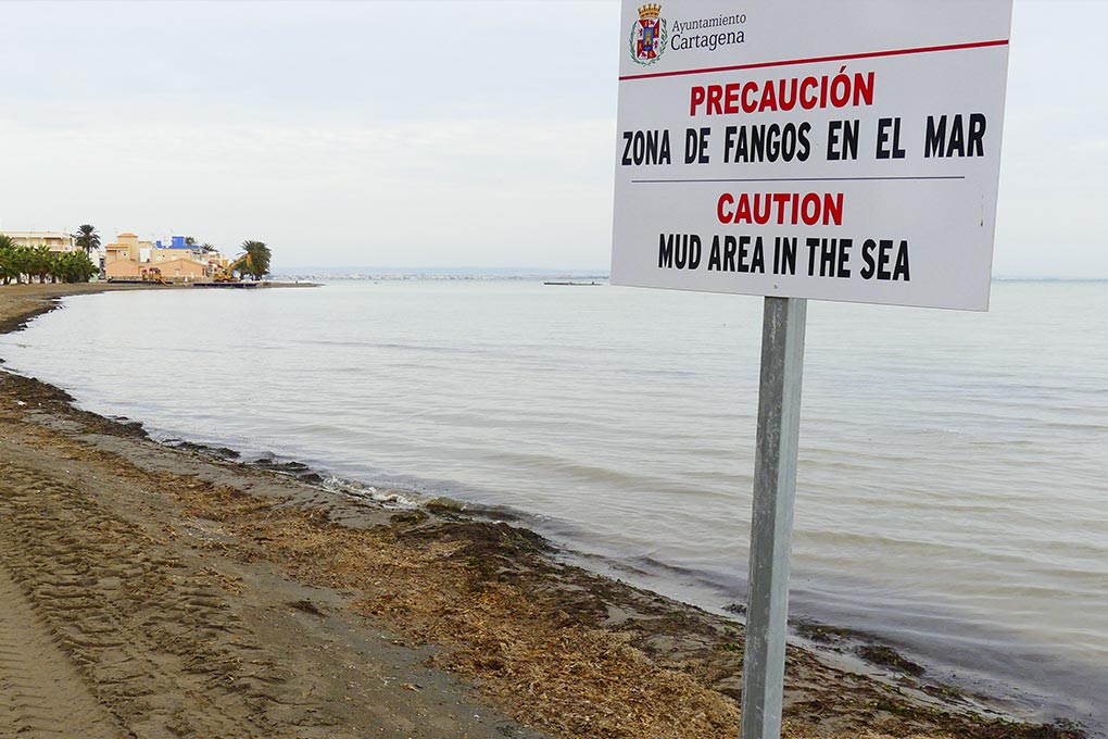
The ‘unique’ challenge facing Tecnoambiente and McValerna in deciding how to remove dry waste and sludge from the Mar Menor
Tecnoambiente and McValerna have been awarded the contract to remove ‘dry’ waste and sludge from ten coastal areas between Punta Brava and Los Nietos in the Mar Menor. The project, divided into four phases, will develop technical alternatives to ensure a viable, efficient and compatible action with the fragile lagoon…
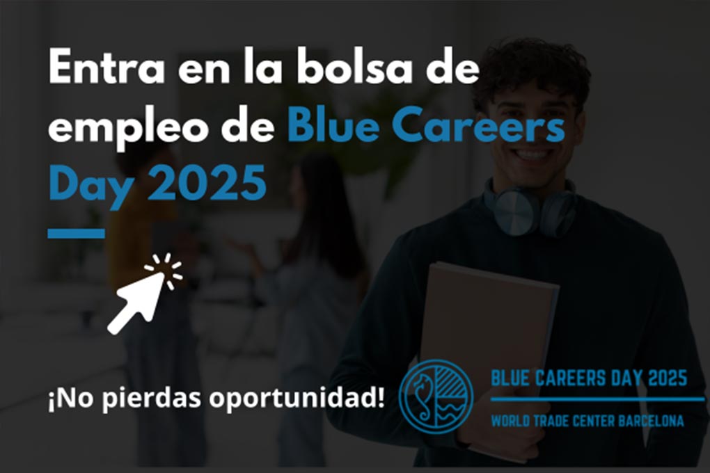
Barcelona hosts the first job fair specialising in the blue economy
Barcelona will host Blue Careers Day 2025, a jobs fair dedicated to the blue economy sector that brings together students, recent graduates and companies in the marine field. Organised by the University of Barcelona together with Barcelona Activa and other agents, it will feature speed interviews, networking sessions and specialised…
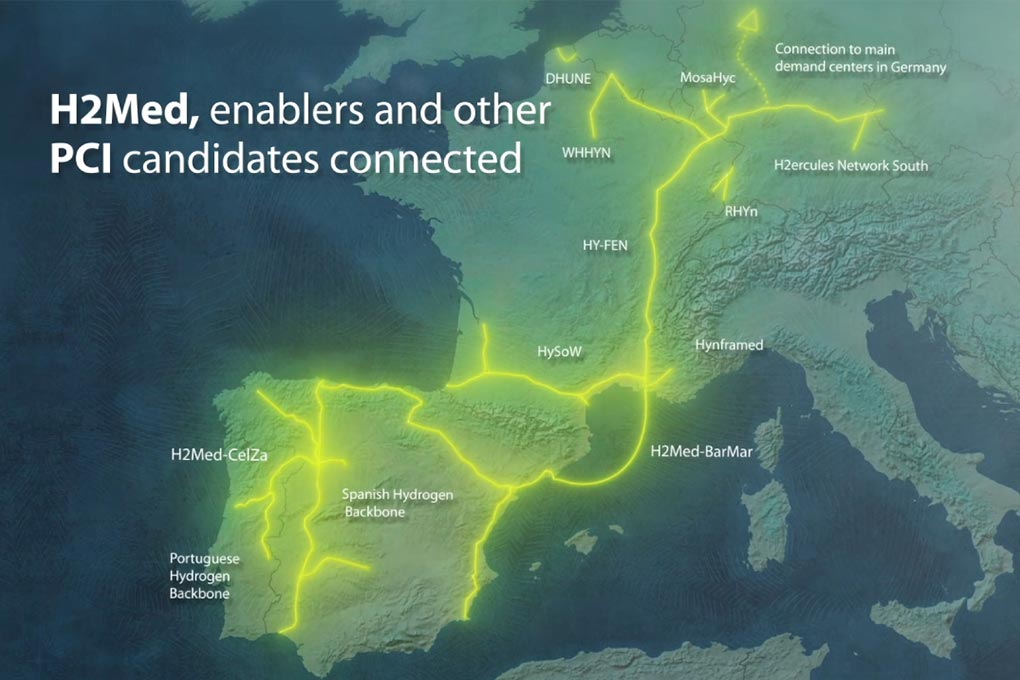
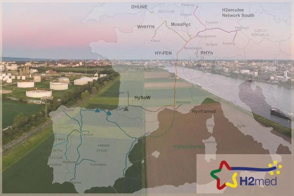
The H2Med project enters a new phase of development
The operators Enagás (Spain), GRTgaz and Teréga (France), together with OGE (Germany), have awarded the engineering and route studies for the Barcelona-Marseille subsubsea pipeline of the H2Med project, while the consulting firm Tecnoambiente will carry out the environmental and social impact studies. Learn more
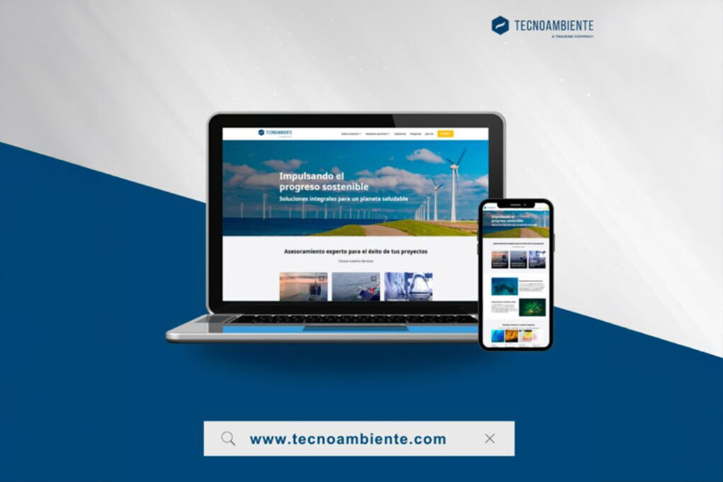
Tecnoambiente launches revamped website, reflecting its growth and strengthening its digital presence
Barcelona, 19 November 2025 – Tecnoambiente, an environmental consultancy specialising in onshore and offshore services, launches a new website, designed to offer a more intuitive, visual and user-oriented experience. This new space reflects the company’s evolution and growth, and highlights its capabilities in providing environmental consulting services, marine…
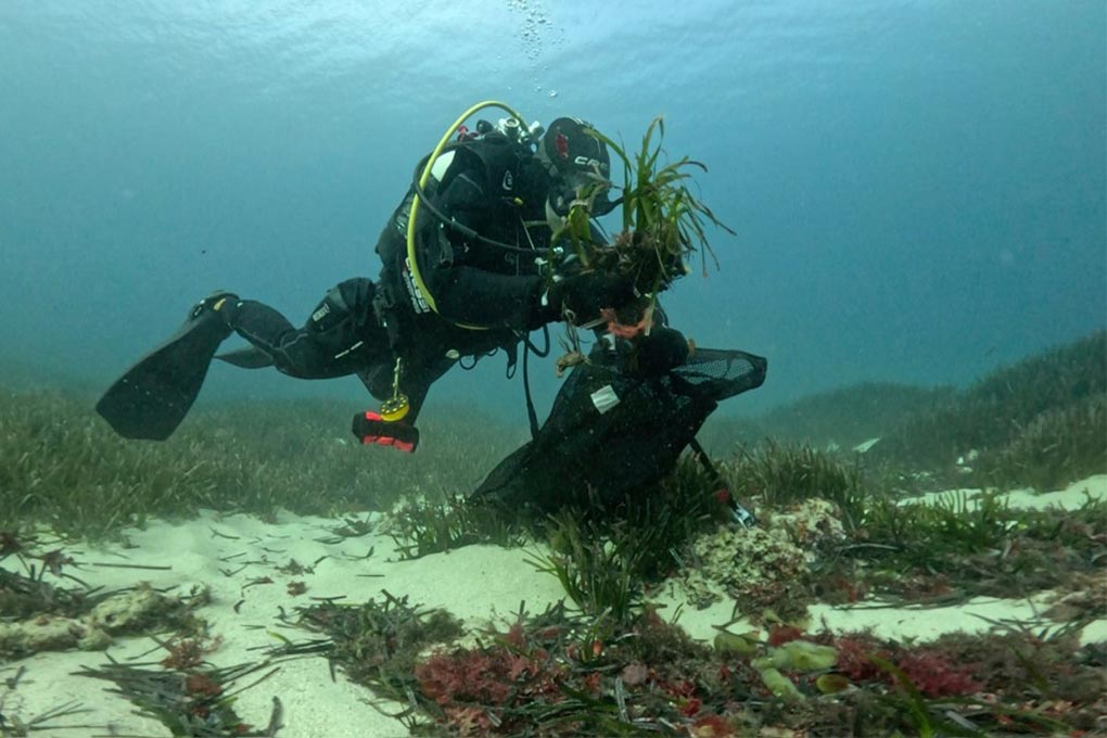
The planting of Posidonia in Fornells, a real success: more than 99% survive
The restoration work in the port of Fornells has resulted in more than 99% of the planted Posidonia fragments surviving, according to recent scientific monitoring. The project recovered 2,160 m² of seabed using 3,200 fragments and included awareness campaigns for visitors to the promenade. Learn more
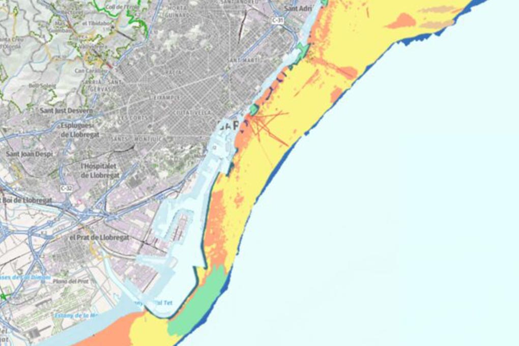
Sand, sediments, channels and waste on a new map analysing the seabed
An ambitious coastal study in Catalonia has developed a detailed map of the seabed down to a depth of 50 metres, identifying sand, sediments, channels and waste. This official cartography will facilitate the planning of dredging, sand replenishment and the protection of vulnerable habitats against climate change.
Tecnoambiente expands its underwater engineering capabilities from Barcelona
The Catalan firm Tecnoambiente has strengthened its presence on the Barcelona coastline, promoting underwater engineering solutions for cable laying, offshore infrastructure installation and activities linked to the blue economy. With its headquarters and central laboratory in Barcelona, the company is looking towards a global market with a consolidated local technical…
H2MED enters a new phase after awarding studies on BarMar to Wood and Tecnoambiente
The European hydrogen corridor H2MED takes a key step forward by awarding the studies on the route between Barcelona and Marseille (BarMar): Wood will carry out the engineering and technical-economic analysis, while Tecnoambiente will be responsible for the social and environmental impact. The project is also recognised as strategic by…
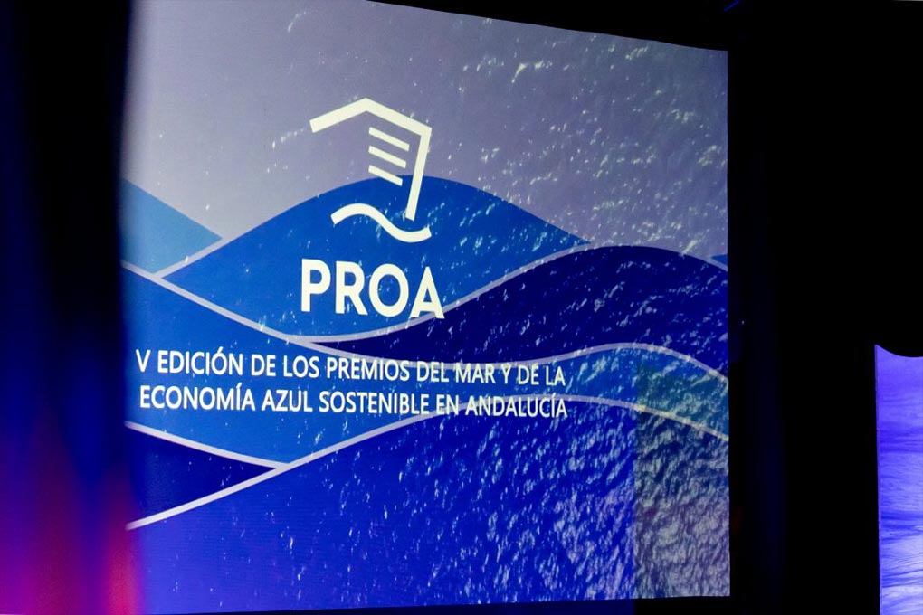
Andalusia recognises talent and innovation in the blue economy at the PROA Awards
The Andalusian community celebrated the 2025 PROA Awards gala, organised by the Andalusian Maritime-Marine Cluster, recognising outstanding initiatives in the field of the blue economy, innovation and talent. Ramón Fernández-Pacheco, Minister of Agriculture, Fisheries, Water and Rural Development, highlighted the Andalusian Strategy for a Sustainable Blue Economy, with a budget…
PortsIB invests more than €100,000 in restoring Posidonia in the port of Fornells
PortsIB has launched a project to restore more than 2,000 m² of seabed in the port of Fornells by replanting fragments of Posidonia oceanica. The work, carried out by Tecnoambiente with scientific monitoring by IMEDEA (CSIC-UIB), aims to recover this protected habitat and promote environmental sustainability in the Menorcan bay.
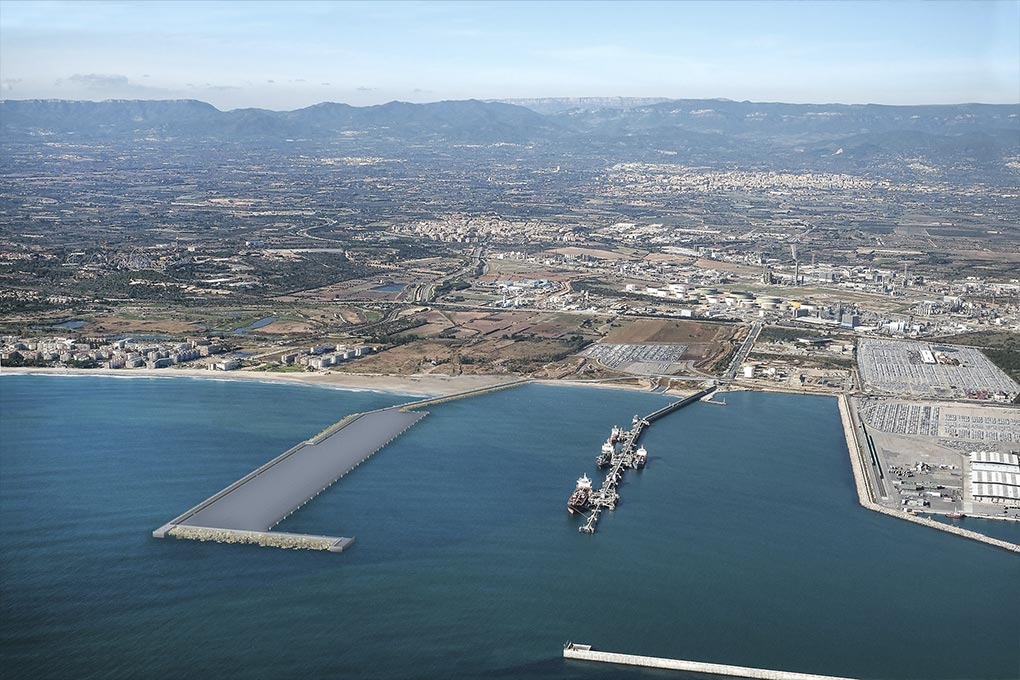
Tecnoambiente to carry out environmental impact study for the Poniente breakwater
The project for the new Poniente breakwater at the Port of Tarragona is entering the environmental study phase, with Tecnoambiente commissioned to prepare the report analysing alternatives, impacts and monitoring measures. This infrastructure will strengthen the port’s southern maritime defences and stabilise La Pineda beach, with a view to minimising…
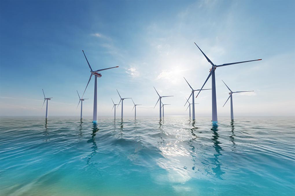
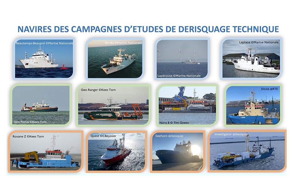
DGEC completes marine studies campaigns for France’s offshore wind projects
The Directorate-General for Energy and Climate (DGEC) has completed its programme of sea campaigns associated with the 2019-2023 PPE offshore wind tenders. The campaigns included studies of wind, currents, waves, bathymetry and seabed geology, with 12 vessels mobilised and more than 1,000 professionals involved in different French maritime areas.
H2MED: Preliminary studies to begin the BarMar section
The H2Med project is beginning preliminary studies for its BarMar (Barcelona–Marseille) submarine section: Wood has been awarded the route engineering contract and Tecnoambiente, together with Francom and Natural Power, the environmental and social assessment contract. This work will combine technical, technical-economic, environmental and sociological analysis of the corridor.